
technology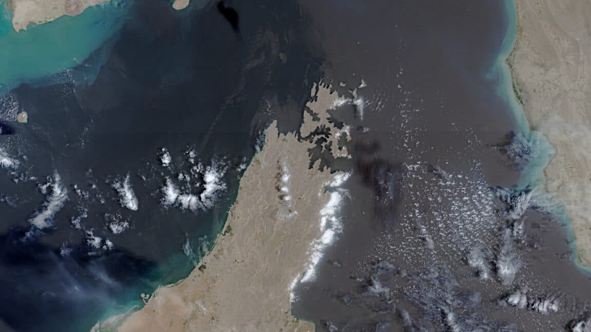
EU Approves US Request to Limit Satellite Imagery of Iran Conflict Zone
24 Temmuz 2026Arstechnica
- The European Union has granted a request from the United States to restrict access to satellite images of the war region in Iran. This decision comes amid escalating tensions and renewed military actions by the US in the area.
- The delay in the release of Copernicus satellite pictures highlights the geopolitical implications of surveillance technology in conflict zones.
- The Copernicus program is a key initiative for Earth observation in Europe, aimed at providing comprehensive data for environmental monitoring and crisis management. However, the increasing militarization of satellite data access reflects the complexities of international relations and the strategic interests of pow…
- The EU's compliance with the US request raises questions about the balance between transparency and national security. By limiting access to satellite imagery, the EU may be prioritizing diplomatic relations with the US over its commitments to open data and monitoring in conflict regions.
NewsAI özeti
This article is for informational purposes only and does not constitute an endorsement of any political stance.
Orijinal Kaynak
Tam teknik rapor ve canlı veriler için yayıncının web sitesini ziyaret edin.
Kaynağı Görüntüleİlgili Haberler
Tümünü Gör

NewsAI Mobil Uygulamaları
Her yerde okuyun. iOS ve Android için ödüllü uygulamalarımızı indirin.