
politics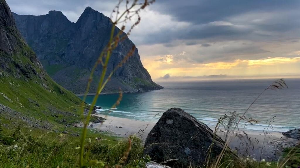
Norwegian Researchers Use Satellite Images to Assess Tourism's Environmental Impact
28 Mayıs 2026France 24
- Norway's Lofoten Islands are experiencing a surge in tourism, prompting worries about environmental degradation. In response, researchers in Norway have initiated a project that leverages satellite imagery to monitor the ecological consequences of this influx.
- This innovative approach aims to provide valuable data on the impact of tourism on the fragile environment of the islands.
- The Lofoten Islands, known for their stunning natural beauty, have become a popular destination for tourists seeking outdoor adventures. However, the rapid increase in visitor numbers raises questions about the sustainability of local ecosystems and the need for effective management strategies.
- The use of satellite images represents a significant advancement in environmental monitoring, allowing for a broader and more precise assessment of tourism's impact. This method not only enhances data collection efficiency but also enables researchers to track changes over time, potentially influencing policy decisi…
NewsAI özeti
This article is for informational purposes only and does not constitute expert advice.
Orijinal Kaynak
Tam teknik rapor ve canlı veriler için yayıncının web sitesini ziyaret edin.
Kaynağı Görüntüleİlgili Haberler
Tümünü Gör


NewsAI Mobil Uygulamaları
Her yerde okuyun. iOS ve Android için ödüllü uygulamalarımızı indirin.